
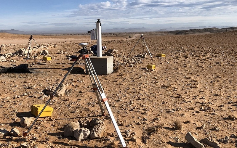
JVC ENGINEERING LTD provides professional land surveying and drone surveying services for construction, infrastructure, real estate, environmental, and land development projects in Rwanda and across East Africa. The company utilizes modern surveying equipment, Geographic Information Systems (GIS), Global Positioning Systems (GPS), Total Stations, and advanced drone technology to deliver accurate, reliable, and efficient surveying solutions.
The company conducts land measurements, mapping, topographic surveys, boundary verification, site analysis, and geospatial data collection to support planning, design, construction, and land management activities. JVC ENGINEERING LTD ensures that all surveying services comply with national land regulations, engineering standards, and project specifications.
Through the use of drone surveying technology, the company captures high-resolution aerial imagery, orthophotos, 3D terrain models, and digital maps that improve project accuracy, reduce field operation time, and enhance decision-making for clients and project stakeholders. Drone surveying services are particularly effective for large-scale infrastructure projects, construction monitoring, environmental assessments, mining operations, and urban planning activities.